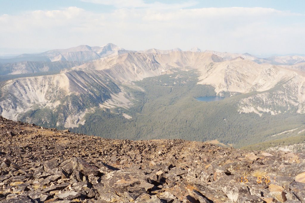
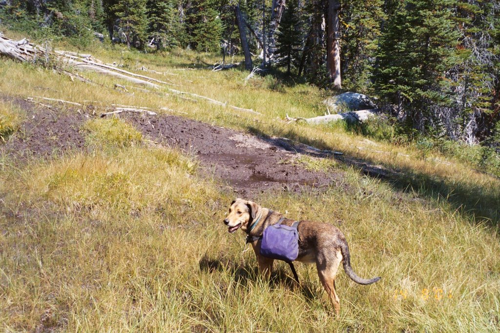
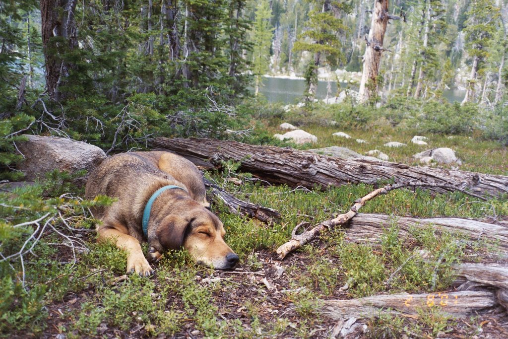
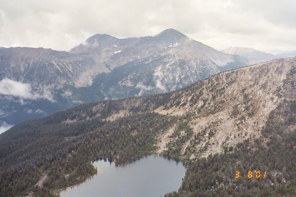
This year, I was fortunate to make the hike with my Tech colleague Don Stierle. A chem prof, he also assists his Renaissance wife Andrea is pursuits such as finding cures for cancer from fungi that grow on yew trees or from microbes in Butte's infamous Berkeley Pit. With Don came Chooka The Dog, a 4-month old Golden Retriever:
 Though the weather has been seasonal of late with 80 deg F days and 40 deg F nights at 6,000 feet elevation in Butte, we still opted for an early morning start. It's not a long (c. 8 miles) nor especially steep (c. 2500 foot elevation gain) hike, but it is nice to travel in the cool of the day. While stashing a few beers in the creek near the Fishtrap Creek trailhead for the ride home, I discovered this Pine Marten set constructed by some fur trapper:
 Mornings are also active critter time, and we busted some elk from where the trail crosses a big wet meadow, and the dogs nosed into several spruce grouse (aka fool hens, for their habit of sitting in a tree just a few feet away). The grouse were feeding on grouse whortleberry and grasshoppers--both are numerous this year:
 We also came across a lot of "doodlebug" or antlion pits, including this exceptional colony:
 If I were an ant living in this area, I'd want to be named Daniel. Even in the wilderness, there are some historical tracks of a working landscape, such as this irrigation ditch that moves water many miles from the headwater diversion:
 Our first day in, we rested through the heat of the afternoon and then hiked above treeline to Lost Lakes where Don spotted a group of 6 or 7 goats working their way along the ridge to the left of the lower lake, and we took in the fantastic view:
 The area's height and location help in capturing a lot of snow. Even in the driest and hottest of summers, the big snow cornice along Saddle Ridge lasts all summer long, as does the glacier along the upper lake. Yes, it is a true glacier, and the only one in the Pintler, according to Don Nyquist, a National Weather Service observer, meteorologist, and Anaconda resident. Don says a key characteristic that makes this a glacier is the formation of firn--"the metamorphic layer of dense, granular snow between the accumulation area (new snow) and glacial land ice." Here's a photo of the upper lake and its glacier (West Goat Peak is on the far right of the snow cornice just below the ridge):
 The approach to West Goat Peak is very pleasant with very little scree (as Pintler peak bagging goes). Here's Don picking his way along the ridge, with the fantastic vertical goat cliffs on his right:
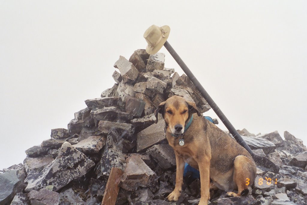
 Chooka and RTD did a lot of goat- & pika-sniffing on the way up, and once on the summit they were content to rest. Here's the pup, with Warren Peak in the background (easily bagged from Edith Lake):
 The morning haze from our numerous local forest fires thickened throughout the day. With clear air, the distant views from W Goat are tremendous, but even the "close" view of the alpine meadow leading down to Lost Lakes is pretty sweet:
 Just as we finished supper that evening, a big thunderstorm swept through. This is why I prefer to camp down in the timber, and not on the barren ground around Lost Lakes. As RTD and I lay in the tent watching through the vestibule door as lightning flashed and crashed, I took a moment to appreciate the difference between Pink Mountain Heath (Phyllodoce empetriformis):
 And Merten's Mountain Heather (Cassiope mertensiana):
 These lovely evergreen species carpet much of the Pintler high country, along with other familiar species such as Alpine Gentians (Gentiana calycosa), the leaves of which make a tasty and mildly psychotropic tonic:
 Though the flowers have faded, I also like the Elk Thistle (Cirsium foliosum):
Don and Andrea (or "DnA") are naturlists, too. For years, I have simply taken Sky Pilot (Polemonium viscosum) as another pretty alpine flower. Don demonstrated why it has the nickname "Skunkweed," and explained how he and Andrea once tried to extract the essential oil that gives it this odor:
 From home today, I took a morning walk to Big Butte before spending a few hours laying rock on the new retaining wall in the backyard. The smoke was not too bad, and I could just make out East Goat Peak, Saddle Mountain, and West Goat Peak through the fire haze. Already, the good memory of West Goat Peak is getting me through another year.
 Note: You will hear some folks refer to the "Anaconda-Pintler." This is sure way to mark yourself as one from "away." For locals, it's simply "The Pintler." Even this name mystifies me, as the area's namesake -- the rancher/homesteader Charles Pintler -- lived in the area just one winter, and moved because he and his family found the climate too harsh.


 It's a steady and sometimes steep climb of about 5 miles or so. Once into the trees its shady and cool enough, but RTD (RolyTheDog) & I were thankful for the early start on this near-90 deg F day. Passing by some elderberries,
  I thought of Grandma Beryl (nee Fitzgibbons) Munday, the world's best baker of fruit pies (my wife Jan has the title of world's best living baker of fruit pies). The Allegheny highlands of Pennsylvania were a great place for wild berries of all kinds. Elderberry pie was my favorite, and she would bake one or two for my birthday. In Montana, elderberries are seldom sweet and tasty--too short of a growing season, too dry, not enough heat?
 Hearst Lake was improved once upon a time with a dam, but the dam might need repairs and the increased height no longer seems to be used:
 The saddle between Hearst and Haggin Lakes makes a nice base camp at 8,500 feet. What a place to be as a front moved in, lightning crashed on the peaks, and clouds dropped more than an inch of rain in my cooking pot rain gage. The pleasant meadow, and the old ACM/Anaconda water company (?) cabin (lower left in photo) is on the route to Mt Haggin:
 I hope Cindy was (is?) worth it:
 I like passing through the feathery alpine larches that invariably mark the Pintler treeline at c. 8500 to 9000 feet. As my now-retired colleagues Jack Goeble and Dennis Haley liked to say, "What are the poor people doing today?":
 Above treeline, we join our friends the pika (Ochotona princeps). Here's a "rock rabbit" peeking out directly over RTD's nose:
 Global warming has been very tough on them in many areas of Colorado and points south. As the climate warms, they move higher up the mountain side, become "island populations," and are more and more cut off from "marriagable" members of other populations.
 The peak is marked by a most impressive cairn, as you would expect, given the peak's ritual importance in the lives of many Anaconda residents. In the peak notes, one can read of marriage proposals, anniversaries, reunions, eulogies, and other touching tributes to local lore (no mention of Cindy, though):
 For a time, it looked as if the weather was going to close in as the sun lifted moisture from the night's rain, and dense fog bracketed the ridge. Added to the time of summiting any peak (4:20), the fog created just a bit of "high" anxiety :
 But the sun prevailed, revealing a nice panoramic view beginning at the left with the Mill Creek/10 Mile ridge and sweeping west to the heart of the Pintler:
 Time to head down. On approaching the meadow, RTD began an intense gaze toward a spot about 300 yards below us. I've learned to trust her sharp eyes. What's this big-assed creature flipping over rocks (lower right in photo)?
 Thought it was a big boar of a bear at first, but then saw it watching something, and the cub scrambled into view (sow is on the right, looking back at her cavorting cub on the left):
 Big sow black bear--maybe 300 pounds or so, sows usually go half that or less. Glad she left our camp alone, she must have been finding plenty of tasty ants, beetles, and other critters under the rocks she was flipping over:
 A quick hike down to Hearst helped supplement our evening supper:
 Would have stayed later the 3rd day and fished Haggin Lake before hiking out, but ate like a bear(?) the second day and ran out of food. Oh well, a good 3-day/2-night trip, and a lovely route up Mt Haggin & back.